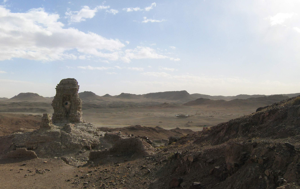
5 больших фото Ruins of Ongiin Khiid monastery complex, destroyed by communist rulers in the 1930s, seen on October 16th, 2006. Original here. (Bouette / CC BY-SA) #
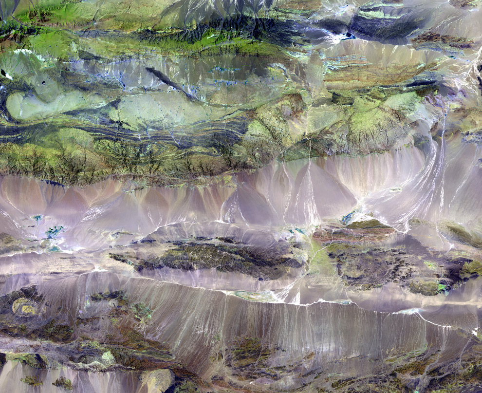
The Edrengiyn Nuruu forms a transition zone between the Mongolian steppes to the north and the arid deserts of northern China to the south. This image was acquired by Landsat 7's Enhanced Thematic Mapper plus (ETM+) sensor on August 13, 1999. This is a false-color composite image made using shortwave infrared, infrared, and green wavelengths. (USGS EROS Data Center Satellite Systems Branch) #
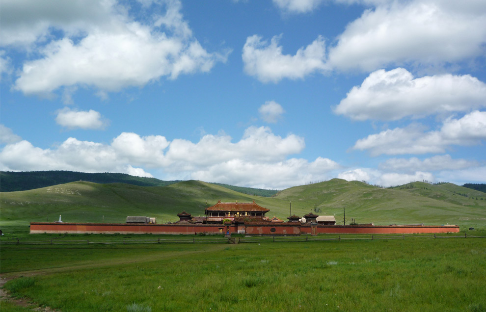
Amarbayasgalant Monastery, in Selenge aimag, Mongolia on July 31st, 2008. Original here. (Wikimedia user Bogomolov.PL) #
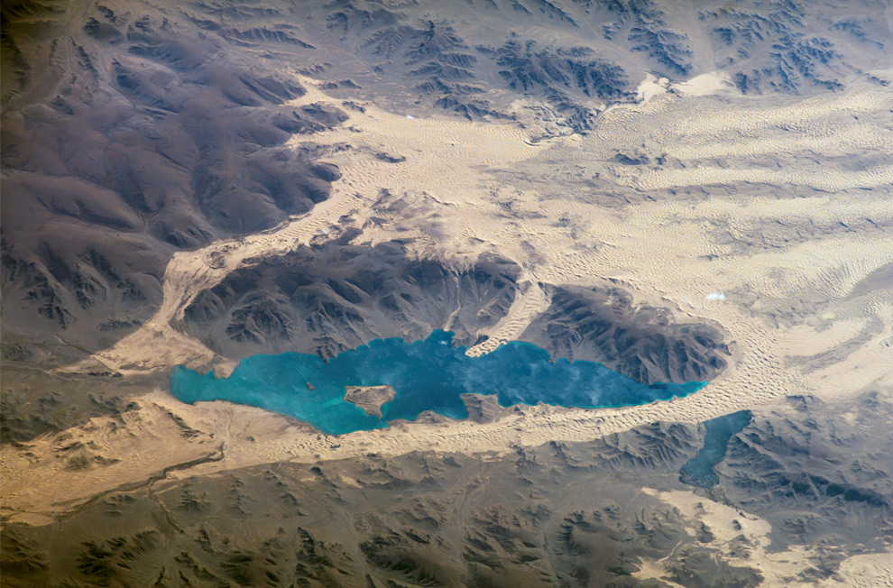
Sand dunes near Mongolia's Har Lake [ed. note: the lake is actually Khar Nuur, located in Zavkhan aimag] are featured in this image photographed by an Expedition 13 crewmember on the International Space Station in September of 2006. This oblique view captures the dynamic nature of the landscape of Har Lake. The lake is encircled by sand dune fields which encroach on the lower slopes of the Tobhata Mountains to the west and south. Gaps in the mountains have been exploited by sand dunes moving eastward (indicating westerly winds) -- the most striking example being a series of dunes entering Har Lake along its southwestern shoreline. (NASA) #
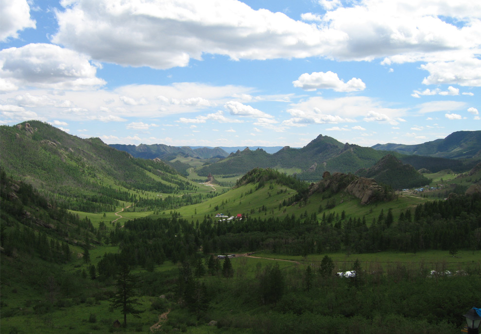
A view from the monastery at Gorkhi-Terelj National Park, Mongolia. In November of 2006. Original here. (Vidor) #